

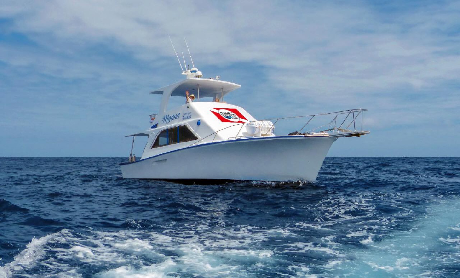
Aquatic Expedition Ayanque
This content is not yet available in English and is shown in Spanish.
About Aquatic Expedition Ayanque
Contact information
Aquatic Expedition Ayanque
Santa Elena, Santa ElenaLocation map
Opening hours
| Monday | 08H00 / 19H00 |
| Tuesday | 08H00 / 19H00 |
| Wednesday | 08H00 / 19H00 |
| Thursday | 08H00 / 19H00 |
| Friday | 08H00 / 19H00 |
| Saturday | 08H00 / 19H00 |
| Sunday | CERRADO |
Is this your business?
Claim this listing to update its information and reach more customers.
Claim listingNearby attractions
Places to visit within 30 km.

Ayangue
Ayangue is a commune in Santa Elena known as "The Pool of the Pacific", due to the clear waters of its beaches, the coral reefs and the charm of this small city. Ayangue Beach is known for its clear, warm waters, pristine coral reefs, and small-town charm, making it a great spot for scuba divers. With wide sands bordered by two cliffs that interrupt the sea, Ayangue invites you to rest and feel welcome. The restaurants offer you the most exquisite lobsters, shrimps, octopus, crabs, to delight your palate.In Ayangue you will find a large number of fishing boats that offer rides into the sea, which will allow you to have another perspective of the paradise you are visiting. The population has historically been dedicated to artisanal fishing and the elaboration of handicrafts. Ayangue is a commune of the Colonche parish, Santa Elena, located 42 km from the Ballenita Terrestrial Terminal and 150 km from Guayaquil.The period between June to September humpback whales arrive at the coast of Ayangue to reproduce and mate. Location of Ayangue Located in the province of Santa Elena, 150 kilometers from Guayaquil, bounded to the north by the San Pedro Commune, to the south by the Palmar Commune, to the east by the Colonche parish and the mountain range of the same name, and to the west by the Pacific Ocean.
0.59 Km.

Malecon of Montanita Ecuador
The Montañita boardwalk was built with materials that are friendly to nature. The infrastructure is above the rock that rose as protection from the ravages of the sea. It comprises an extension of 400 meters of clay pavers and teak wood was used for the railing. The corridor is 2.5 meters wide. It has lighting, stairs to enter the beach, benches, sanitary batteries, pergolas and planters. In two sections of the boardwalk stand out the same number of surfboards with the caption: "I love Montañita". The idea is that they are one of the reference points for tourists. While you travel the Malecón you can enjoy a relaxed monento and share with friends or family the majesty of the sea that collides with its large waves, which are preferred by domestic and foreign tourists to learn and surf. In this place there are rest areas where it is very common to find tourists talking peacefully and without any worries. The busiest place in the sector and where every tourist who visits Montañita must go is the Malecón, here you can listen to dialects from all over the world, depending on the season you will meet Chilean, Argentine, Asian, French, German tourists and much more. In the reocrrido of the boardwalk there are varied lodging options in Montañita, such as hotels and hostels of different tastes and prices, which offer their services with a privileged view towards the sea. We recommend you to wear sunglasses and sunscreen to avoid a burn, and in this way you can enjoy this beautiful place to the fullest.
17.53 Km.

curia beach
A gently sloping beach with significant breadth and length. Creeping beach vegetation, dry bushes, coconut palms, combined with the housing complexes that are developed on the sides of the population of modern constructions taking advantage of the materials of the area (wood, cade) are observed. The mountain range is parallel to the beach line. How to get? Following the Route of the Spondylus or the Sun, 3 kilometers away, is Curia, known as the spoiled Santa Elena
24.94 Km.

Cerro El Tablazo
The Mirador Cerro El Tablazo is located on one of the largest hills in Santa Elena.From here you can have a view of the sea and the three cantons of the Peninsula: Santa Elena, La Libertad and Salinas. The buildings of Salinas, the oil tanks in La Libertad and the Emperatriz de Santa Elena church stand out in the panorama that can be seen from this hill.Cerro el Tablazo appears on the coat of arms of the province of Santa Elena. What you can do in Mirador Cerro El Tablazo Hike Photography Cycling Address The Cerro El Tablazo Viewpoint is located on one of the largest hills in Santa Elena, on Sucre Street, before reaching the Santa Elena Bus Terminal.
28.73 Km.

Whale Beach
Small but important fishing port and spa located a short distance from La Libertad and Santa Elena, it owes its name to the fact that these cetaceans were seen in groups on their way to the place they choose to mate. Captain Francisco Pizarro landed on its beaches on August 18, 1527. When he discovered the Peninsula and gave it its original name. It has great fishing activity for which Ballenita develops a varied gastronomic offer for its visitors.White tail whale watching is given. What you can do in Playa Ballenita snorkeling Wildlife observation Surf Hike Taste typical dishes Diving buy souvenirs Location Ballenita Beach Ballenita beach is located about 20 minutes from Salinas and 5 minutes from La Libertad.
28.81 Km.

Alex waterfalls
The waterfall known as Cascadas de Alex is a pongo, because it is located in a mountainous relief.Cascadas de Alex is located in Olón, towards the mountain, almost at the end of the town. In this place you can enjoy a bath, and appreciate the vegetation of the area as there are a variety of plants and trees cataloged with names. There are small streams of water that can be crossed on foot near the entrance area. What you can do in Alex Waterfalls Swimming Hike Wildlife observation Location The Alex Waterfalls are located in the San Vicente de Loja complex, in the Olón commune, Santa Elena province.
28.92 Km.